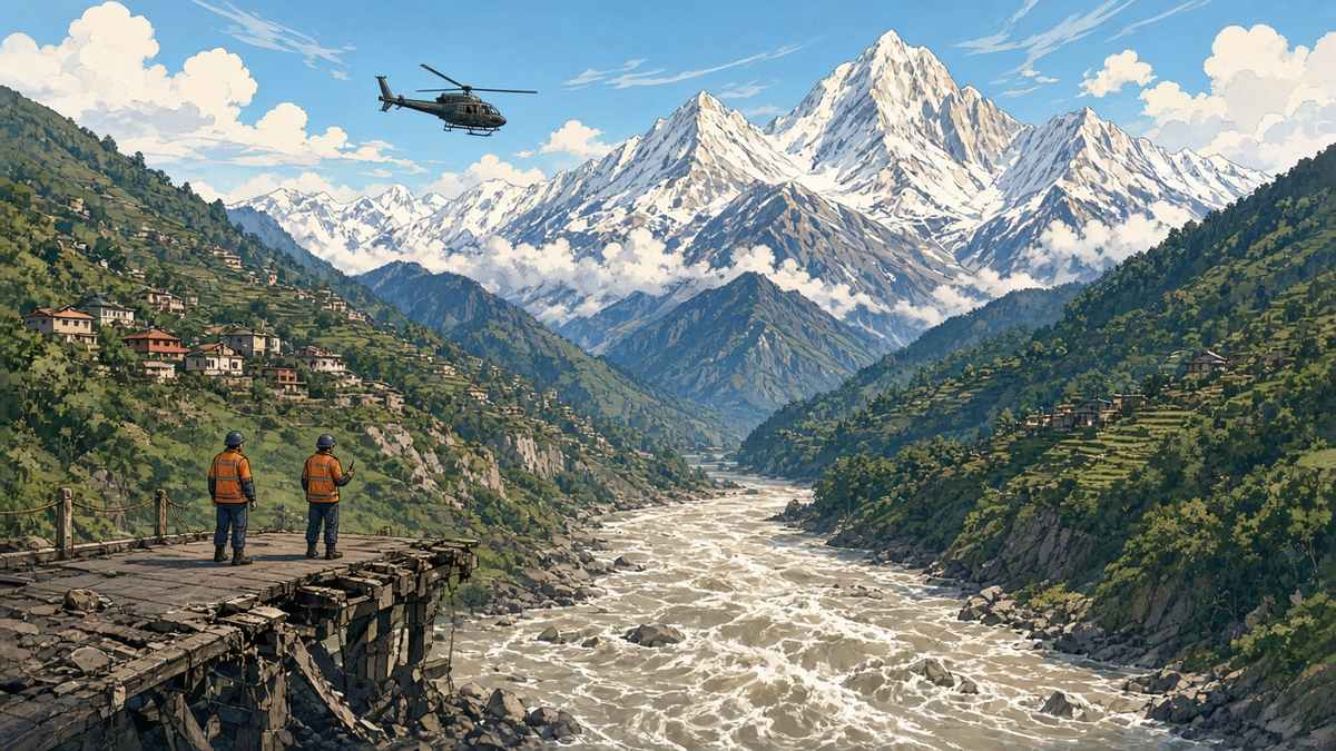
When the mountainside above Nepal’s Budhi Gandaki valley collapsed on 11 October, the jolt matched a small tremor of magnitude 3.5, Nepal’s geological survey has calculated in a first assessment. The number features in a technical assessment that the national disaster agency, NDRRMA, is using to piece together how a remote collapse in Gorkha district turned into a series of deadly surges.
It started at about 4:20am high above Chumnubri Rural Municipality, close to the Chinese border. An avalanche broke loose near 6,000 metres and triggered a huge slide some 500 metres lower, sending snow, meltwater and glacial rubble racing down the Ungilung Khola. Near 2,000 metres the mass choked the tight junction with the Syar Khola, backing up water for roughly 1.5km. Because that plug failed more than once, villages downstream were struck by wave after wave instead of a single flood.
The first torrent of mud arrived in Salleri at about 4:30am. Two hours later came the biggest, a wall of mud perhaps 20 metres or more in height, which erased the workers’ camp of a large dam project under construction on the river. In Jagat houses took heavy damage, and concrete spans across the main channel and a tributary were torn apart. Investigators say a high clay content made the flow thick and sluggish yet extremely destructive.
Five people who had spent the night at a shepherds’ shelter are still unaccounted for, and power stations and transport links have been knocked out. The army says it has brought 186 people to safety, 31 of them foreigners.
The timing makes it worse. Barely seven weeks have passed since the late-August catastrophe in the Bhote Koshi and Trishuli valleys, where close to 1,500 people perished and thousands are still listed as missing. The mountain research centre ICIMOD has warned that the danger extends along connected river systems as far as the Narayani.