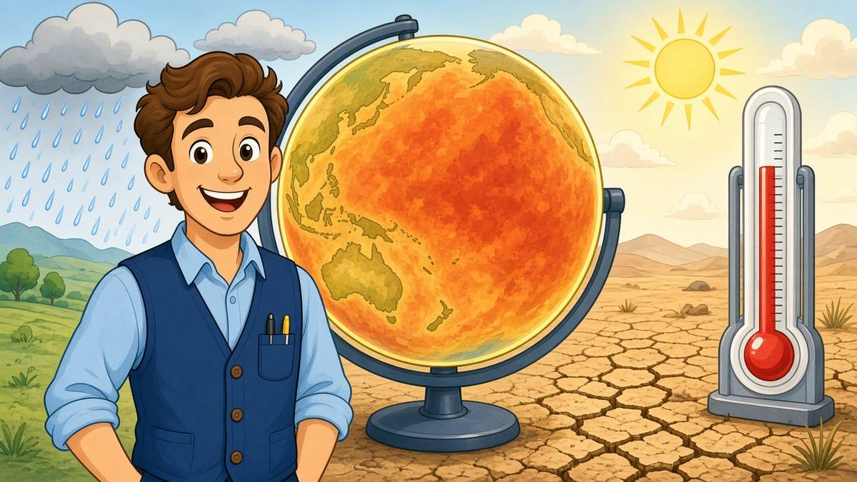
The world’s weather forecasters have a number they have never seen before: 3.8. That is how many degrees Celsius above average the surface of the tropical Pacific could reach between November and January, according to a seasonal outlook released in Geneva by the World Meteorological Organization.
To put it in perspective, the WMO declares an El Niño once that stretch of ocean runs half a degree warm. The most powerful episodes of the past four decades peaked around three degrees and still upended weather on several continents. “We are beyond that limit,” WMO chief Celeste Saulo told reporters, adding that the event should crest around December while its effects linger well into 2027.
El Niño itself is a natural swing in Pacific temperatures, not a product of climate change, although a warmer planet can amplify it. Its signature is displaced rainfall. The UN expects floods in East Africa during the current rainy season and a drier planting season across southern Africa. Southeast Asia faces heat and water shortages; Indonesia’s forest and peat fires have already been burning for months. Drought risk is rising in Central America and the Amazon, while the US Northwest and parts of western South America may get far more rain than usual.
UN relief chief Tom Fletcher was blunter still, calling this El Niño a “wrecking ball” and warning that around 50 million more people could slide into hunger. Refugees, displaced families and communities caught in conflict are the most exposed.
The two agencies issued a joint appeal for anticipatory action rather than after-the-fact relief. Fletcher said the next fortnight will decide whether money and supplies reach Somalia, Ethiopia and Kenya before the heavy rains do.